

























Assistant Director — Computer Programming
GIS Lab · Punjab Forest Department
Architecting, building and deploying full-scale, GIS-enabled web platforms for government-scale forestry operations, monitoring and decision-making — in production across administrative and field stakeholders.
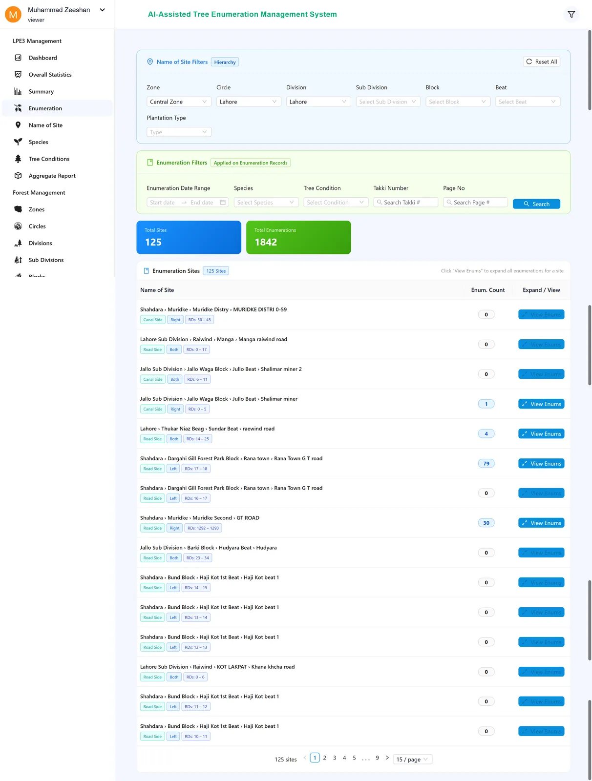
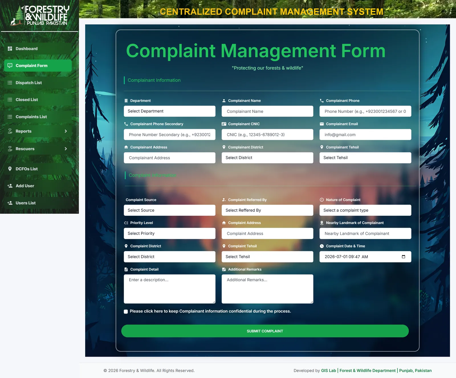
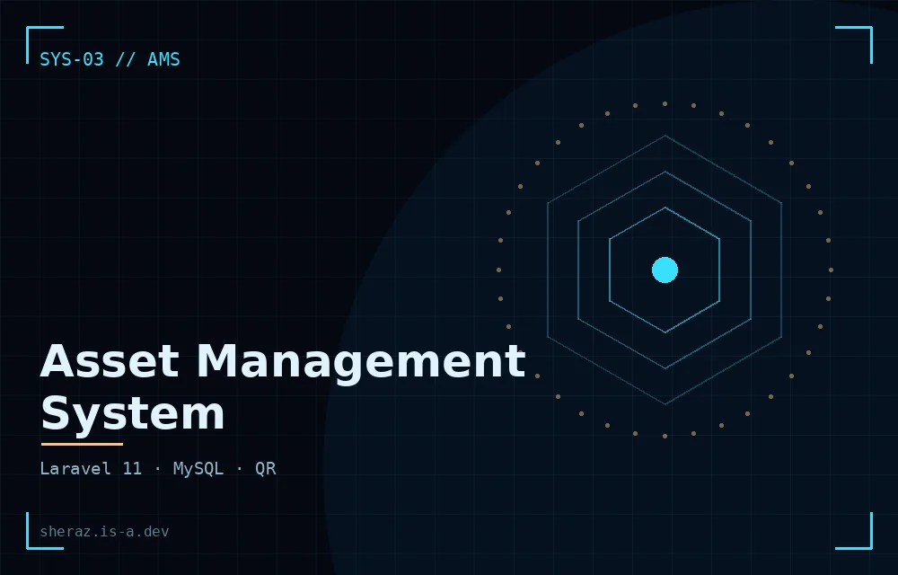
- Delivered end-to-end systems: Complaint Management (React + Node.js) and Asset Management (Laravel) tailored to operational workflows.
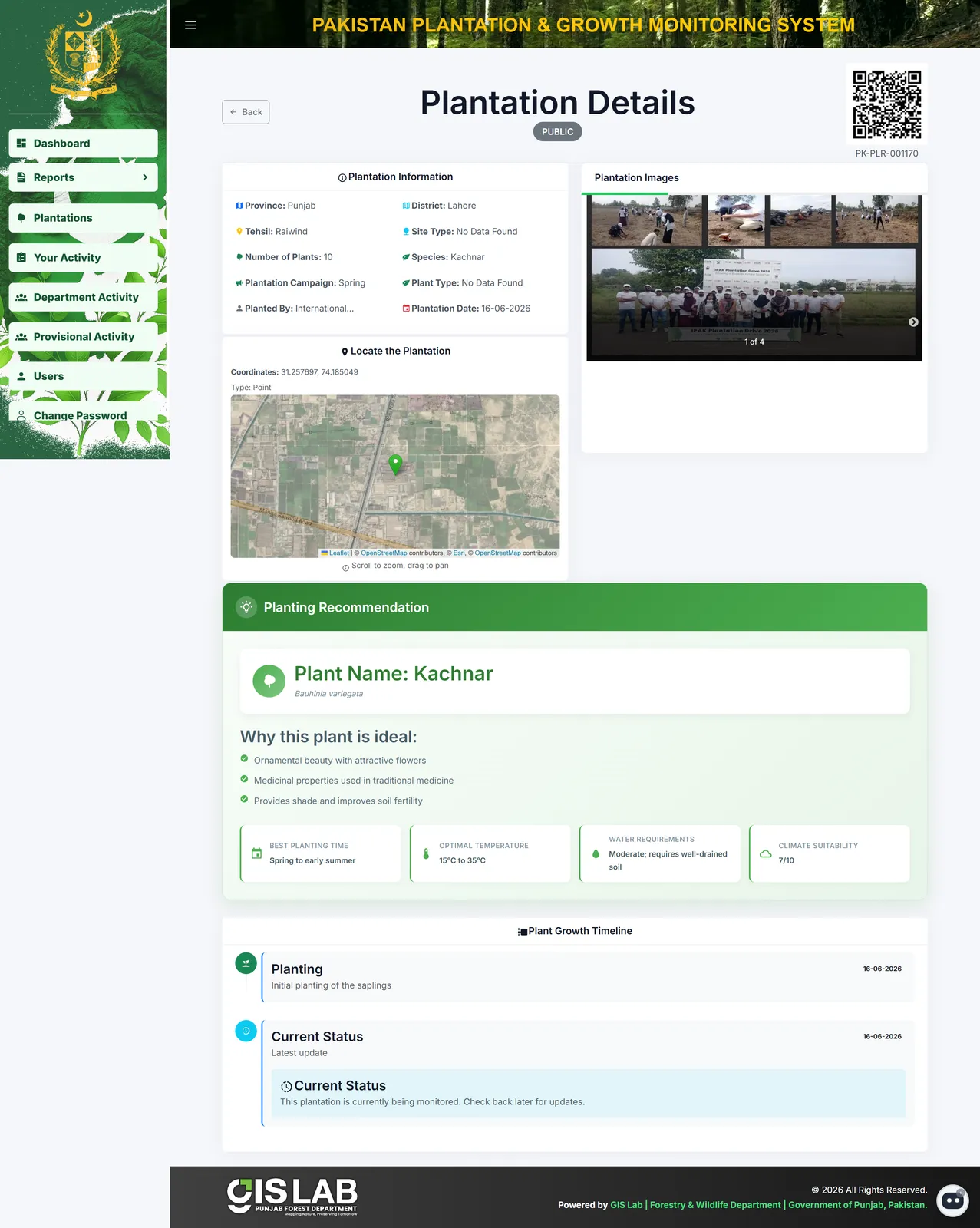
- Implemented web GIS: spatial storage, interactive map rendering, layer overlays and QR-based geospatial tagging.
- Engineered role-based access control across hierarchical government structures for secure deployments.
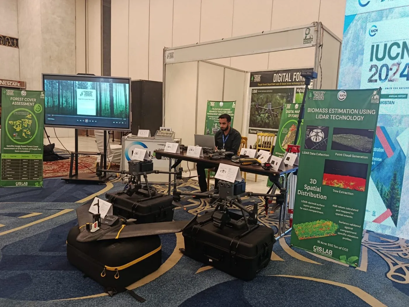
- Represented the GIS Lab at IUCN 2024 — showcasing LiDAR-based biomass estimation, AI drone forestry monitoring and satellite forest cover assessment covering 67% of Punjab's forests.
// LIVE DEPLOYED SYSTEMS — CLICK TO VISIT